Regional Training on Inundation Modeling and Mapping UNESCO/IOC DG ECHO CoastWAVE 2.0 Project
CoastWAVE inundation Modeling and Mapping Training
Training Course
11 - 14 May 2026
Üniversiteler, Dumlupınar Bulvarı No:1
06800 Cankaya/Ankara
Turkey
Organiser(s) & Staff
Participation
Attendance by application.
Coastal communities across the North-East Atlantic, Mediterranean, and connected seas (NEAM) region remain vulnerable to tsunami hazards. The CoastWAVE 2.0 Project, implemented by the Intergovernmental Oceanographic Commission of UNESCO (UNESCO-IOC) with the funding of the European Commission (DG ECHO), seeks to strengthen tsunami preparedness and community resilience in this region.
Under Component 2, CoastWAVE 2.0 aims to ensure that coastal communities are better prepared to respond to tsunami threats, can evacuate safely to pre-identified areas, and conduct regular community exercises in line with UNESCO’s Tsunami Ready Recognition Program.
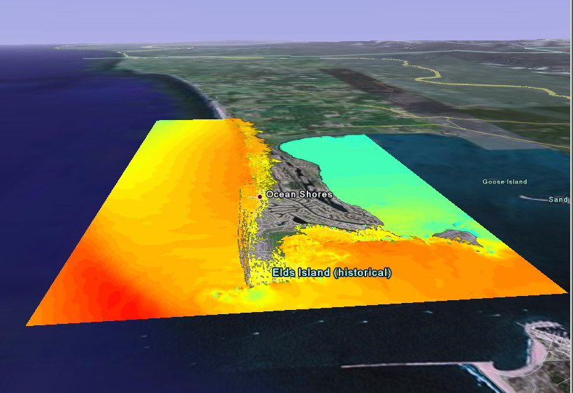
A key activity under this component is the preparation and validation of coastal inundation maps, which form the technical foundation of tsunami risk management, early warning, and community evacuation planning. Accurate inundation maps are essential for identifying hazard zones and determining safe routes and assembly points.
However, technical capacities for tsunami inundation modelling and mapping remain uneven across NEAM countries, with varying levels of expertise, data availability, and institutional coordination. Therefore, the Regional Inundation Modeling and Mapping Training has been designed to address these gaps, providing practical guidance, harmonized methodologies, and peer learning opportunities to enhance national and local capability in producing and applying inundation maps.
The regional training aims to equip participants with the necessary knowledge, skills, and capacities needed to develop tsunami hazard inundation maps to support decision-making and tsunami response, with the aim of enhancing community safety and tsunami preparedness.
[View an annotated printable version of this agenda]
There are 0 participants associated with Regional Training on Inundation Modeling and Mapping UNESCO/IOC DG ECHO CoastWAVE 2.0 Project .
Total Invited: 0
Confirmed: 0
Not confirmed: 0
Unapproved: 0
Not-participating: 0
Rejected: 0
Label(s): TSR Training course
Created at 14:50 on 20 Mar 2026 by Derya Vennin
Last Updated at 05:48 on 24 Mar 2026 by Weronika Kmiec